
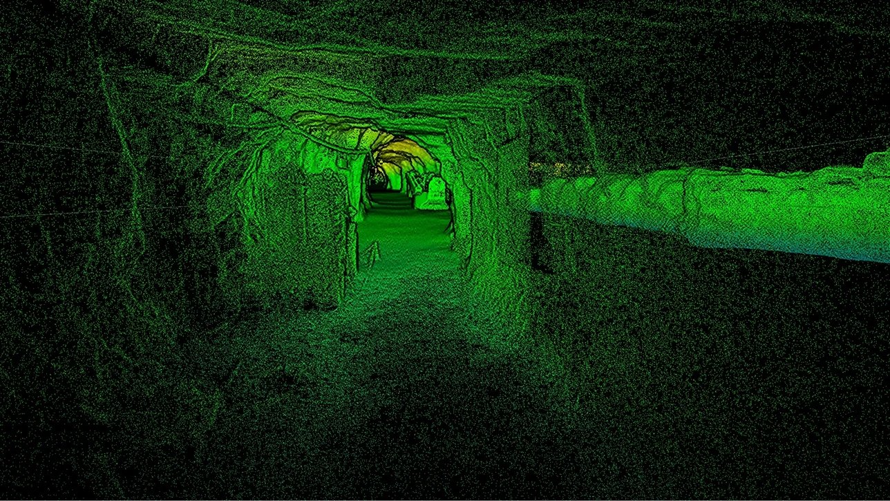
ARTEC twins
Capture, Render and Navigate massive datasets in real time with Zero Latency. View features in their real-world locations with Georeferenced Accuracy, discover Gaussian Splatting for next-level photorealism, and use built-in analysis tools for actionable insights.
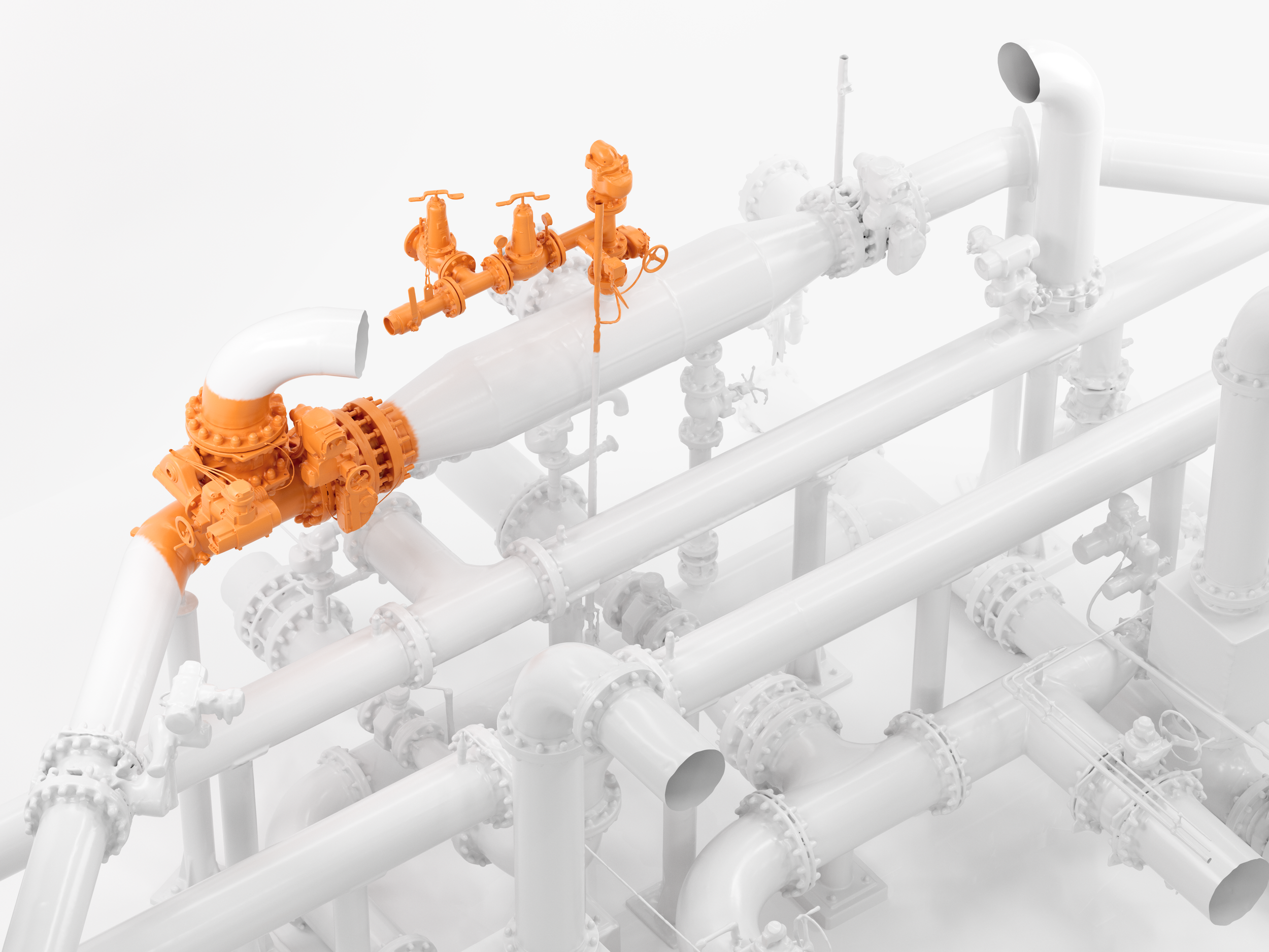
Combine datasets for complete digital twins, down to the last detail
Capture entire cities by satellite, digitize landmarks with LiDAR, and use handheld 3D scanning to pick up objects inside a scene. Combine resulting data for multi-source, interactive digital twins.
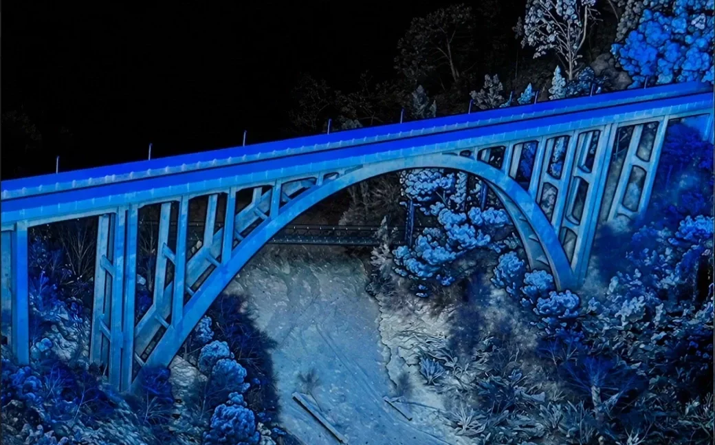
Render and navigate massive datasets in real time
Instantly take a closer look at your project data with clear, ultra-realistic 3D visualizations.
-
Twins is 3D software for reconstructing huge scenes at every level, with any 3D data – from satellite maps down to drone footage, scans, photos, or videos.
-
While similar in interface, Twins is optimized for handling the huge data sets associated with SLAM LiDAR
-
Twins can efficiently view and process scans of up to 100 square kilometers, containing billions of points
-
Yes, Twins includes a full set of analysis tools, including Volume calculation, Profiles & cross-section analysis, Deviation analysis (Distance mapping), and CAD primitive fitting