
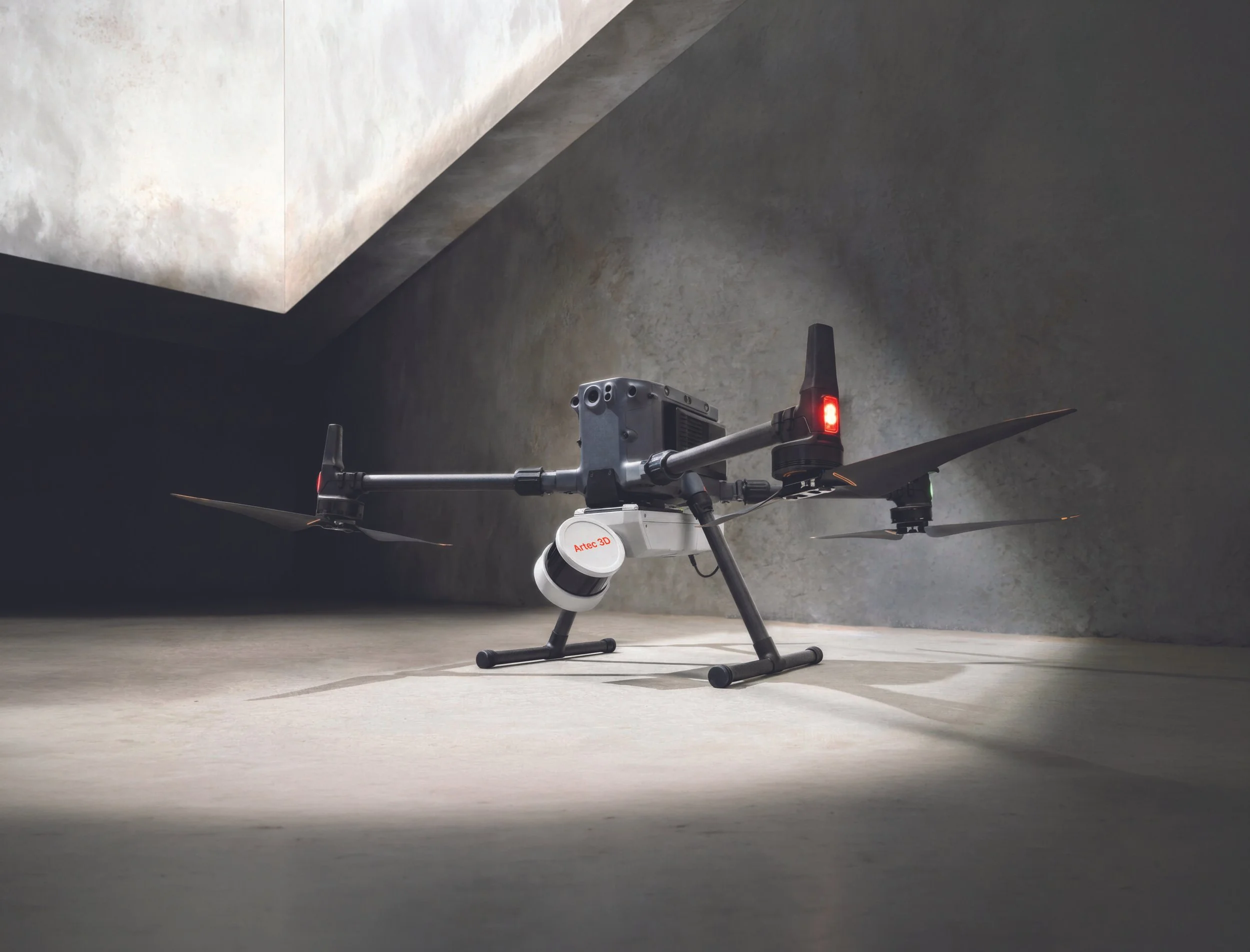
ARTEC JET
Capture large environments, infrastructure, facilities, and difficult-to-access spaces with Artec Jet. Its high-speed LiDAR, SLAM-based positioning, AI-powered autonomy, and multiple deployment modes make accurate 3D mapping possible even in GPS-denied and hazardous environments.
a wealth of deployment options
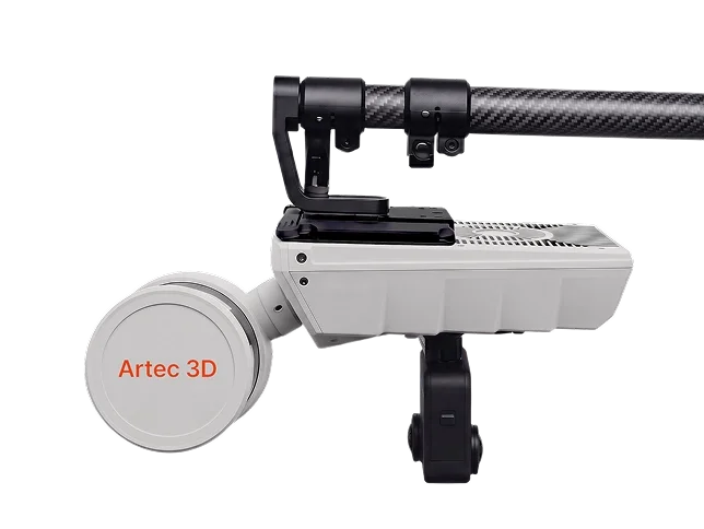
Drone
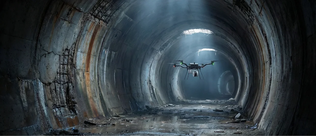
Access areas that are dangerous, elevated, or beyond line of sight with an aerial mapping solution. AI-powered autonomy provides collision avoidance and guided exploration — even in complete darkness.
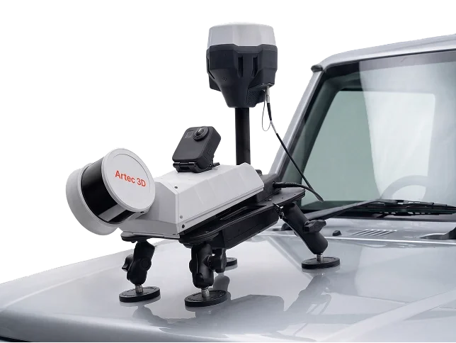
Vehicle
Capture roads, tunnels, large facilities, and linear assets at driving speed. RTK integration provides automated georeferencing and drift correction over distance.
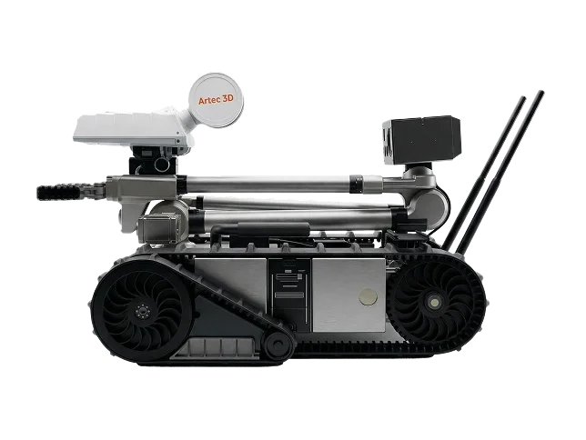
Robot
Mount onto robotic or remote control platforms to map confined or hazardous spaces without putting personnel at risk.
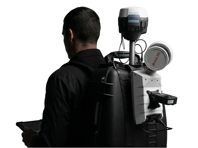
Backpack
Free your hands during longer surveys with a SLAM backpack. Pair with RTK or ground control points (GCP) for georeferencing above ground — and continue seamlessly into GPS-denied zones in the same session.
Telescopic Pole
Reach ceiling voids, compact spaces, and infrastructure details up close. The telescopic pole extends the Jet's range without a drone, improving point density in hard-to-access areas.
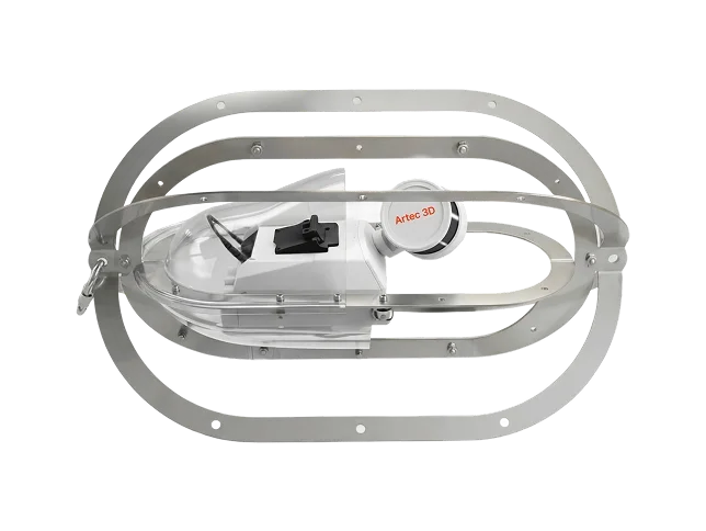
Cage
Lower the Jet into vertical shafts, voids, and enclosed spaces. The stainless steel frame protects from impact and avoids snags.
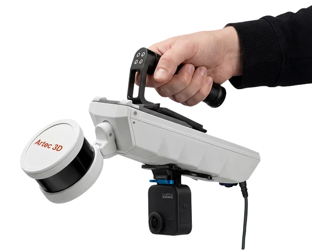
Handheld
At 1.57 kg, the Jet is effortless to carry
use it your way
Your imagination is the only limit when it comes to deploying the Jet. Fly it on a drone with autonomous collision avoidance. Lower it down shafts in a cage, mount it on a pole, a car, a robot, or simply hold it in your hand.
PERFORMANCE
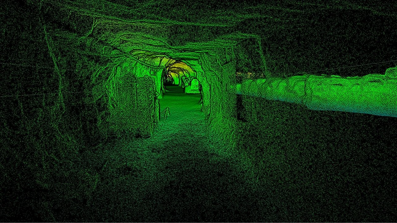
HIGH-SPEED MAPPING. SURVEY-GRADE RESULTS.
Artec Jet combines high-resolution LiDAR sensors with industry-leading SLAM technology to produce detailed point clouds at high speed.
The system is designed for reliable data capture across wide areas while reducing the time required for traditional site documentation and surveying.
EASE OF USE
PRECISION WITHOUT THE COMPLEXITY. PUSH. SCAN. CAPTURE.
Artec Jet is designed to make professional mobile mapping straightforward. Its plug-and-play design and push-button scanning allow teams to begin capturing quality data without specialist training.
Tech specs
FAQ
-
SLAM LiDAR is a technology that lets a mobile device or robot map an unknown space while tracking its own exact location inside that same space at the same time. It combines LiDAR (time-of-flight based laser scanning) with SLAM software algorithms to work without GPS.
-
LiDAR stands for Light Detection and Ranging, a remote sensing method that uses laser pulses to measure distances and create precise 3D maps.
Emits pulses: A spinning laser emitter sends out rapid bursts of laser light toward a target surface.
Measures time: A sensor records how long it takes for the light to bounce off a surface and return.
Calculates distance: Using the speed of light and the travel time, the system computes exact distances for each point.
Calculates point locations: Rotary encoders in the emitter give the trajectory of each laser pulse. When combined with the distance, the exact spatial location of each point can be calculated.
Builds a point cloud: Millions of these returning points form a dense 3D map of the environment, called a point cloud.
-
Artec Jet can acquire up to 640,000 points per second using single-return acquisition and up to 1.92 million points per second using triple-return acquisition
-
Artec Jet has a LiDAR range of 0.5–300 m (1.6 - 984 feet) from any given position.
-
Global accuracy is specified at up to 5–10 mm, while mapping accuracy is ±15 mm in general environments and ±10 mm indoors and underground.
-
The Jet can move up to 60 km/h (37.3 mph) while capturing data
-
Jet data can be seamlessly combined with data from any other Artec scanner in the Artec Twins software. Because Artec supports universal formats like STL, data from any non-Artec scanner can also be imported and aligned with the Jet data.